Mahmoud Tarek
Remote Sensing Essentials
Remote Sensing Essentials This course introduces the principles and applications of remote sensing and how Earth’s surface can be studied using satellite and aerial imagery....
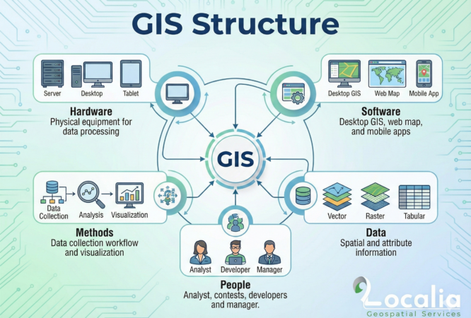
GIS Structure
A WordPress LMS Plugin to create WordPress Learning Management System. Turn your WP to LMS WordPress with Courses, Lessons, Quizzes & more.
QC/QA Techniques
This tutorial will introduce you to PHP, a server-side scripting language you can use to make dynamic websites and web applications.

GIS Analysis
The jQuery team knows all about cross-browser issues, and they have written this knowledge into the jQuery library. jQuery will run exactly the same in...
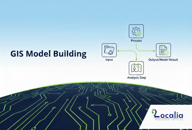
GIS Modelling
In this course, We'll learn how to create websites by structuring and styling your pages with HTML and CSS.
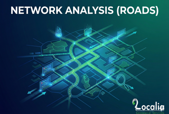
Roads Network Analysis
Many of the most powerful, memorable and effective photographs are black and white images. With digital photography though you can no longer take a great...
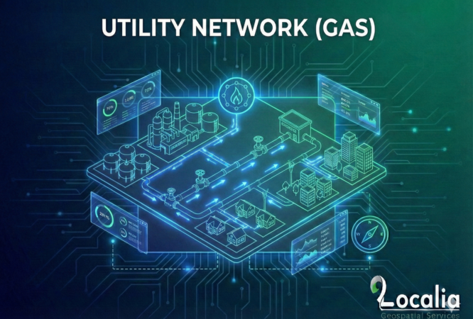
Gas Utility Network
Photography Masterclass: Your Complete Guide to Photography. The Best Selling Online Professional Photography Class: How to Take & Sell Photos.
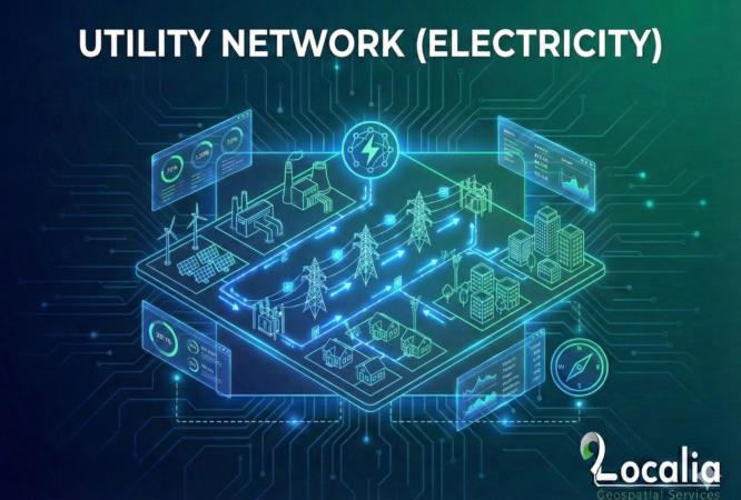
Electricity Utility Network
Build and deploy a few Nodejs, MongoDB & Expressjs apps while watching to lectures by the author of 9 books on JS/Node.
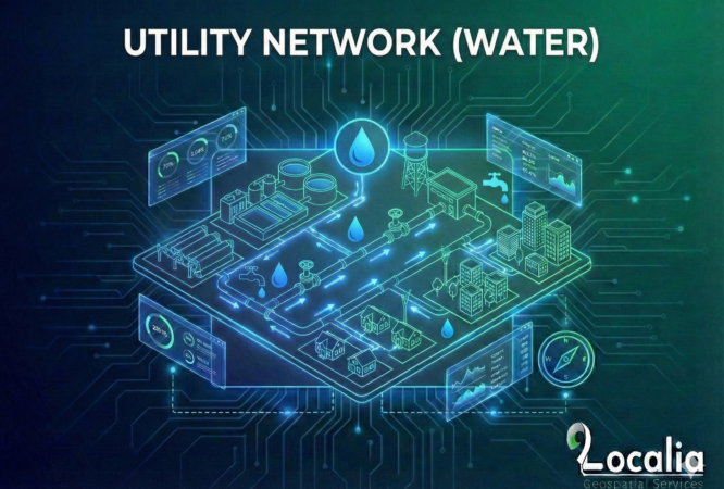
Water Utility Network
Lorem Ipsum is simply dummy text of the printing and typesetting industry. Lorem Ipsum has been the industry's standard dummy text ever since the 1500s,...
Introduction to Databases for GIS (PostgreSQL & PostGIS)
This tutorial will introduce you to PHP, a server-side scripting language you can use to make dynamic websites and web applications.
Open-Source Geospatial Technologies
In this course, We'll learn how to create websites by structuring and styling your pages with HTML and CSS.
GIS Programming – Front-End Technologies
Photography Masterclass: Your Complete Guide to Photography. The Best Selling Online Professional Photography Class: How to Take & Sell Photos.
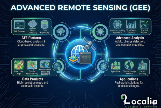
Advanced Remote Sensing
HTML is the language of choice for structuring and presenting content for the World Wide Web. In this free online course you will learn about...
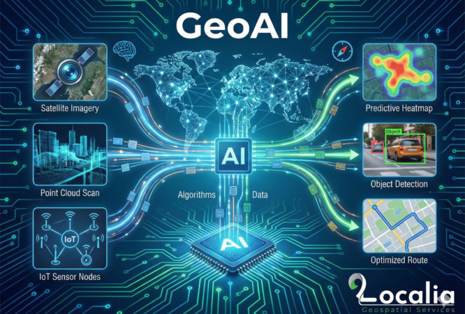
AI in GIS & Remote Sensing (GeoAI)
JavaScript is an object oriented dynamic language with types and operators, standard built-in objects, and methods. Its syntax comes from the Java and C languages,...