Description
Curriculum
Instructor
COURSE DESCRIPTION
Foundations of GIS using ArcGIS Pro
This course introduces the essential concepts and tools of Geographic Information Systems (GIS) through practical training in ArcGIS Pro. You will learn how spatial data is structured, stored, edited, and visualized, and how to create professional maps for real-world applications. The course covers GIS fundamentals, geodatabases, digitizing and editing features, coordinate systems, and map layout design.
You will learn to:
-
Understand GIS concepts and data models
-
Work with databases and geodatabases
-
Digitize and edit spatial features
-
Use ArcGIS Pro for map design and layout
Level: Beginner – no prior GIS experience required

There are no items in the curriculum yet.
1,000.00 EGP500.00 EGP
100% positive reviews
133 students
0 lessons
Language: English
0 quizzes
Assessments: Self
Available on the app
Unlimited access forever
Skill level Beginner
Courses you might be interested in
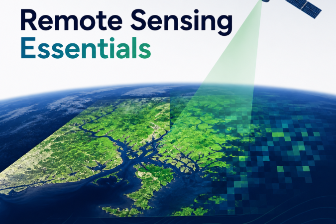
This course introduces the principles and applications of remote sensing and how Earth’s surface can be studied using satellite and aerial imagery.
-
0 Lessons
Free
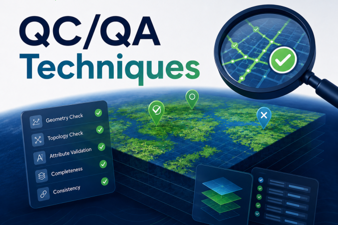
This course focuses on ensuring the accuracy and reliability of geospatial data through Quality Control (QC) and Quality Assurance (QA) techniques. You will learn how to detect, manage, and correct...
-
0 Lessons
Free
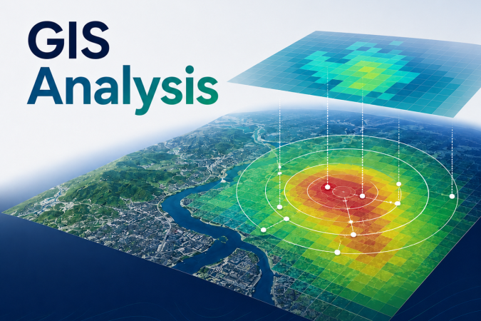
This course introduces the core analytical techniques used to extract meaning from spatial data and support real-world decision-making.
-
0 Lessons
Free
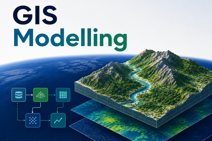
This course teaches how to automate GIS workflows using ModelBuilder in ArcGIS Pro.
-
0 Lessons
Free
1,000.00 EGP500.00 EGP
Contact us
- +201093089908
- Monday – Friday: 9:00-20:00