Services
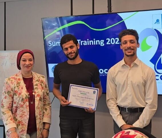
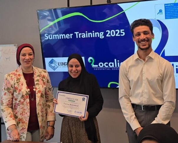
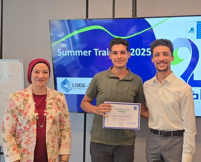
Training & Capacity Building
We offer live (offline/online) and recorded training courses in:
Our courses are designed for students, engineers, analysts, and professionals, helping them bridge the gap between theory and practice.
Remote Sensing (RS)
Geographic Information Systems (GIS)
Spatial Databases (PostgreSQL/PostGIS)
Spatial Programming (Python, JS)
BIM & Digital Twin Integration
CAD for Surveyors
AI & GeoAI
Frontend & Backend Dev for Geo-Applications
Surveying & Spatial Data Services
We provide professional land and spatial data collection services through:
Topographic and cadastral surveys
Utility and infrastructure mapping
GNSS and Total Station-based fieldwork
Aerial imagery integration
Data processing and spatial analysis
Thematic mapping and 3D modeling
Outsourcing & Technical Support
We support organizations with outsourced technical services in:
GIS analysis and mapping
Remote sensing image processing
Web GIS development
Data QA/QC and validation
GIS-BIM-CAD integration
Technical documentation & reporting